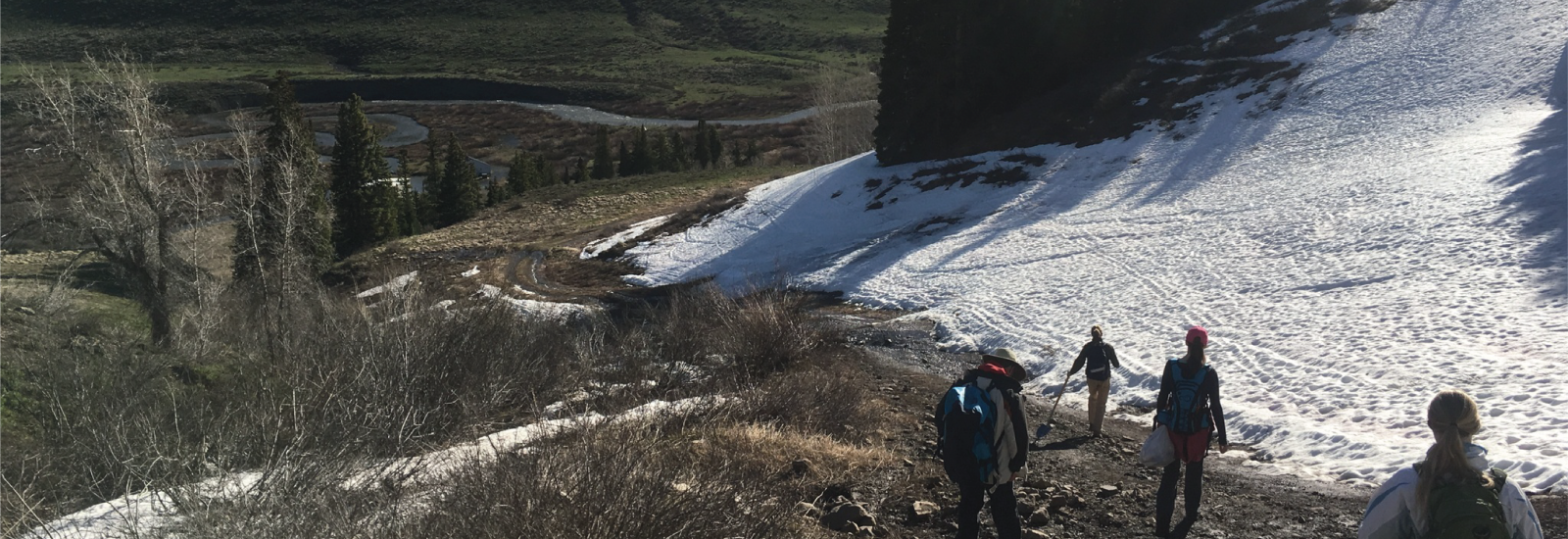
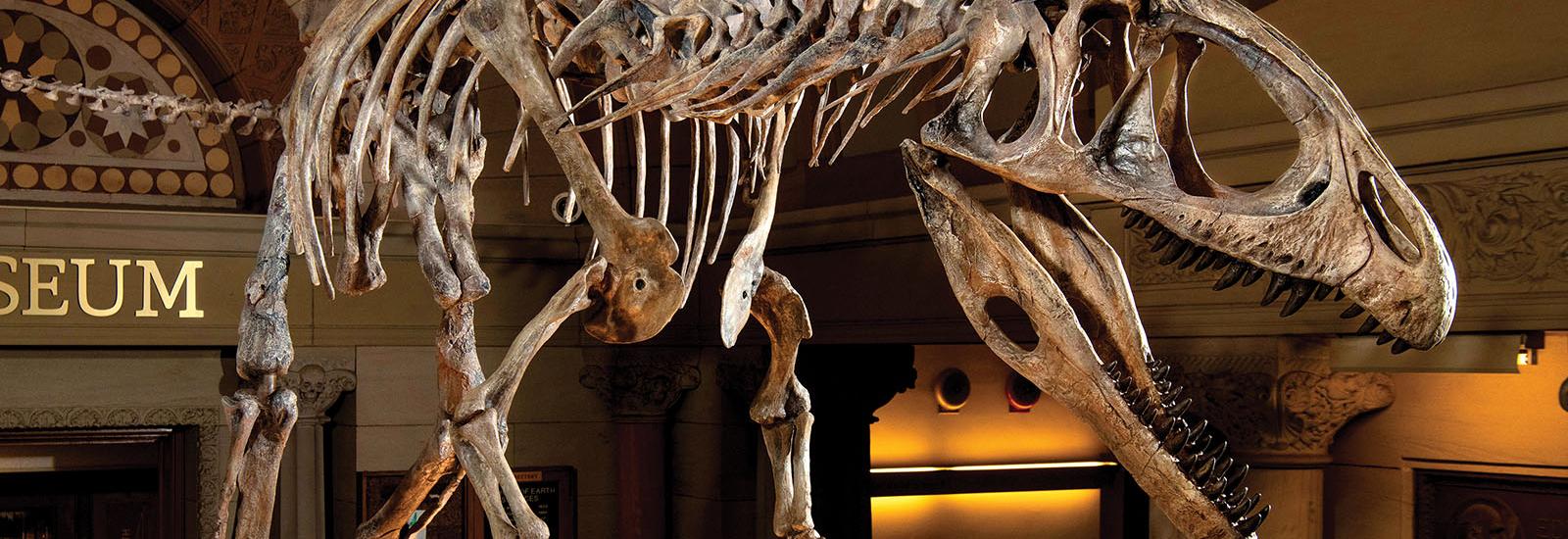
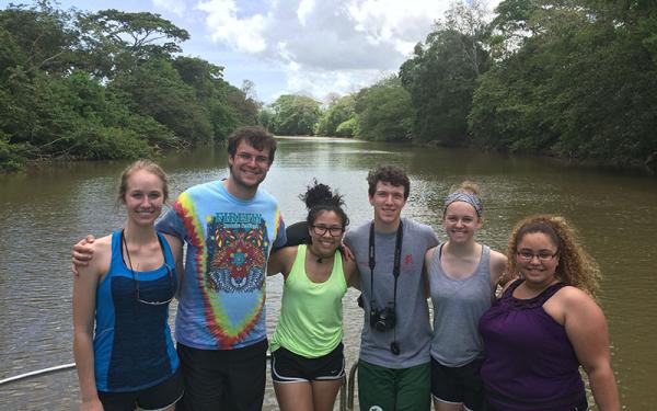
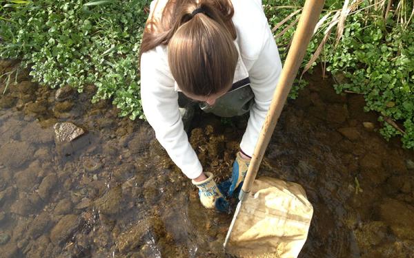
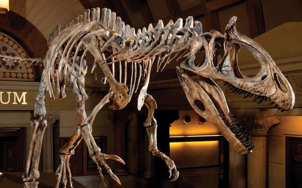
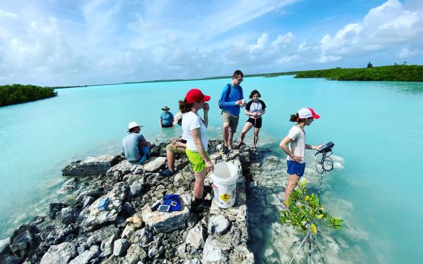
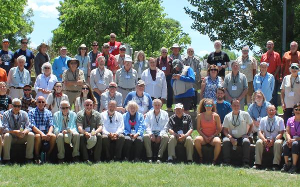
.
Yuchan
Yi, PhD
Research
Scientist
The
125
South Oval Mall
Specializing
in:
Satellite
Radar Altimetry, Space Geodesy
Ground
Penetrating Radar
Publications:
Cheng, K.,
C. Kuo, H. Tseng, Y. Yi, and C. Shum, Lake surface height calibration of
Jason-1 and Jason-2 over the Great Lakes, Marine
Geodesy, in press, 2010.
Fok, H., B.
Iz, C. Shum, Y. Yi, O. Andersen, A. Braun, Y. Chao, G. Han, C. Kuo, K.
Matsumoto, and T. Song, Validation of Jason-2 ocean tide corrections in coastal
regions, Marine Geodesy, in press,
2010.
Han,
G., P. Shastri, B. deYoung, Y. Yi, and C. Shum, A 3-D Data-Assimilative
tidal model of the Northwest Atlantic,
Atmosphere-Ocean, in press, 2010.
Lee, H., C. Shum,
W. Emery, X. Deng, C. Roesler, Y. Yi, C. Kuo, and S. Calmant, Validation of
Jason-2 altimeter data by waveform retracking over California coastal ocean, Marine Geodesy, in press, 2010.
Lee, H., C. K. Shum, Y. Yi, M. Ibaraki, J.W. Kim, A.
Braun, C.Y. Kuo, and Z. Lu, Louisiana Wetland Water Level Monitoring Using
Retracked TOPEX/POSEIDON Altimetry, Marine
Geodesy, 32:3, 284-302, 2009.
Song,
T., L. Fu, V. Zlotnicki, J. Chen, V. Hjorleifsdottir, C. Shum, and Y. Yi, The
role of horizontal impulses of the faulting continental slope in generating the
26 December 2004 tsunami, Ocean Modeling,
20, 362–379, 2008.
Kuo, C., C. Shum, A. Braun, K. Cheng, and Y. Yi,
Vertical motion determined using satellite altimetry and tide gauges, Special
Issue: Satellite Altimetry Over Land and
Coastal Zones: Challenges and Applications, Terr. Atmos. Ocean. Sci., 19(1-2), 21–35, doi: 10.3319/TAO.2008.19.1-2.21(SA), 2008.
Lee, H., C.K. Shum, C.Y. Kuo, Y. Yi,
and A. Braun, Application of TOPEX altimetry for solid earth deformation
studies, Terr.
Yi, Y., K.
Matsumoto, C. Shum, Y. Wang, and R. Mautz, Advances in southern ocean tide
modeling, J. of Geodynamics, 41(1-3),
128-132, 2006.
Song, Y. T., C. Ji, L.-L. Fu, V. Zlotnicki, C.K. Shum, Y. Yi, and V.
Hjorleifsdottir, The 26 December 2004 Tsunami Source Estimated from Satellite
Radar Altimetry and Seismic Waves, Geophys
Res. Lett., 23, doi:10.1029/2005GL023683, 2005.
Zhao, C., C. Shum, Y. Yi, S. Ge, D.
Biltza and P. Callahan, Accuracy assessment of the TOPEX/Poseidon Ionosphere
measurements, Marine Geodesy, 27 (3-4), Special Issue on Jason-1
Calibration/Validation Part III, 729-740, 2004.
Calmant, S., K. Cheng,
G. Jan, C. Kuo, C. Shum, Y. Yi, V. Ballu and M. Bouin, Comparison of sea
surface height derived from satellite altimetry and from ocean bottom pressure
gauges: The SW Pacific MOTEVAS Project, Marine
Geodesy, 27 (3-4), Special Issue on Jason-1 Calibration/Validation Part
III, 597-613, 2004.
Yi, Y., C.
Shum, O. Andersen, and P. Knudsen, Extreme
southern ocean tide modeling, Satellite Altimetry for Geodesy, Geophysics and
Oceanography, International Association of Geodesy Symposium Series, 126,
Hwang, C, C. Shum and J. Li (Editors), Springer-Verlag, Berlin, Heidelberg, New
York, ISBN 3-540-420211-0, 225-229, 2003.
Zhao, C., C. Shum and Y. Yi,
Calibration results of GFO, Satellite altimetry for geodesy, geophysics and
oceanography, International Association of Geodesy Symposia 126, Hwang, C, C.
Shum and J. Li (Editors), Springer-Verlage Berlin Heidelberg New York, ISBN
3-540-420211-0, 41-45, 2003.
Shum, C., Y.
Yi, K. Cheng, C. Kuo, A. Braun, S. Calmant and D. Chamber, Calibration of
Jason-1 altimeter over Lake Erie, Marine
Geodesy, 26:335-354, doi: 10.1080/01490410390253487, 2003.
Zhao.
C., C. Shum, Y. Yi, P. Luk, J. Finkelstein, J. Lillibridge, J. McMillan, and M.
Rau, GFO radar altimeter data product verifications and ocean circulation
studies, IAG Scientific Assembly, Vistas for Geodesy in the New Millennium,
Budapest, Hungary, September 2-7, 2001.
Cheng, K., C. Shum, S.
Han, Y. Yi, and D. Martin, Application of GPS-buoy water level instrument for
radar altimeter calibration, IAG
Symposium Series, 123, M. Sideris (eds), 171-178, Springer-Verlage Berlin
Heidelberg, 2001.